Why a 24-Foot Tripod Beats a Drone for Real Estate Photography
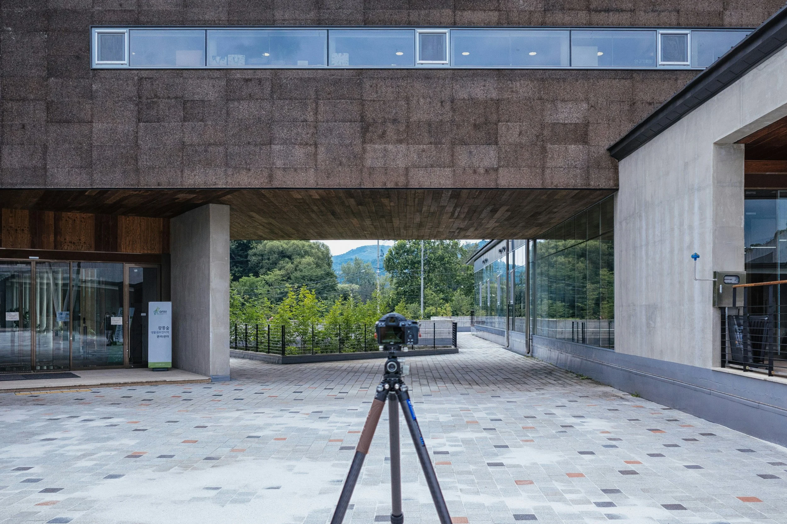
Every listing photographer eventually gets the request: "Can you get some aerial shots?" The instinct is to launch a drone. But for most residential real estate work, a 24-foot tripod (or extension pole) is the better tool — legally simpler, faster to deploy, and often produces more usable imagery. Here's why.
The FAA Rulebook a Drone Photographer Has to Follow
Every commercial drone flight for a listing falls under FAA Part 107, and it comes with a real compliance burden:
Remote Pilot Certificate required. Anyone flying a drone commercially — including for real estate listings — must hold an FAA Part 107 remote pilot certificate, obtained by passing an FAA knowledge test.
400-foot altitude ceiling. Under 14 CFR 107.51, a drone can't fly higher than 400 feet above ground level, unless it stays within 400 feet of a structure and doesn't exceed 400 feet above that structure's highest point (eCFR Part 107.51).
Visual line of sight only. The pilot (or a visual observer) must be able to see the drone at all times, unaided by binoculars. Flying behind a house, a tree line, or a hill to get a better angle isn't allowed without a waiver (FAA Part 107 overview).
Airspace authorization near airports. Flying in Class B, C, D, or surface-area Class E airspace — which covers the areas around most airports, including many small municipal fields — requires prior authorization through LAANC or FAADroneZone before the drone ever leaves the ground (FAA Part 107 Airspace Authorizations). A large share of suburban housing stock lies within one of these rings.
Temporary Flight Restrictions (TFRs). Stadium events, VIP movements, wildfires, and major public events can trigger a TFR that grounds drones in an area with little notice, communicated only through a NOTAM (FAA TFR information). A nationwide TFR currently bars drone flights within 3,000 feet of DOD, DOE, DOJ, and DHS facilities and assets through October 2027 — a restriction that quietly overlaps with neighborhoods near military housing, federal buildings, and courthouses.
Real penalties for getting it wrong. Violating a TFR or flying in unauthorized airspace can result in FAA civil penalties of up to $100,000, plus possible certificate suspension.
None of this is theoretical for a working photographer. It means every shoot near an airport, a stadium, a federal facility, or an HOA with its own drone ban needs to be checked against current airspace maps and NOTAMs before you commit to a shoot time — and some listings simply can't be flown at all.
A Tall Tripod Skips All of It
A 24-foot tripod or extension pole is still a camera on a stick. There's no FAA certificate to earn, no airspace authorization to file, no NOTAM to check, and no TFR that can ground it. That means:
More listings are shootable. Homes near airports, in dense urban cores, near government buildings, or in HOAs and gated communities with drone bans are all fair game with a tall tripod. A drone photographer has to turn some of these listings down, or spend hours on authorization paperwork for a single shoot; a tripod photographer just sets up and shoots.
No weather or wind cutoffs. Drones have real limits on wind speed and precipitation. A tripod doesn't care about a 20 mph gust.
No pre-shoot scheduling friction. LAANC approvals, when needed, are often fast — but "further coordination" requests above the UAS Facility Map grid altitude must be filed at least 72 hours in advance. A tripod shoot can be booked same-day.
Faster on-site turnaround. Extend the legs, level it, shoot, collapse it, move to the next angle. No pre-flight checklist, no battery swaps, no waiting for airspace clearance to come through on an app.
A 24-foot vantage point is also plenty of height for most residential lots. It clears rooflines, captures the front elevation with the yard and driveway in context, and shows how a house sits relative to its neighbors — the shots that actually sell a typical suburban or urban listing. Drones earn their keep on estate lots, waterfront property, or acreage where you need a true top-down view of the land; for the everyday 3-bed/2-bath listing, a tall tripod usually gets the job done with less hassle.
Where Time-Lapse Pulls Ahead of Drone Video
Drone video is genuinely good at one thing: a slow establishing flyover. But for real estate marketing, a time-lapse from a fixed tall tripod often communicates more:
It shows change, not just space. A time-lapse compressing a sunset, shifting cloud cover, or the golden-hour light moving across a facade tells a story a static drone flyover can't — it sells the experience of the property at different times of day, which is exactly what buyers imagining their future life there respond to.
It's rock steady. A tripod-mounted time-lapse has zero of the micro-jitter, wind drift, or gimbal hunting that even a good drone shows in video, especially in breezy conditions common on open lots.
It's dramatically cheaper to produce and edit. A time-lapse is a single locked-off sequence — set the interval, walk away, and stitch it in post. A comparable drone sequence requires a piloted flight path, careful throttle and yaw control to avoid visible wobble, and more battery cycles.
It works indoors and in tight spaces too. A time-lapse of a kitchen through changing light, or a rooftop deck transitioning from day to dusk, is something a tripod can do and a drone generally can't do safely or smoothly.
The Bottom Line
Drones aren't going away, and they're still the right call for waterfront estates, sprawling acreage, or a hero establishing shot of a whole subdivision. But for the bulk of everyday listing photography, a 24-foot tripod wins on three fronts at once: it's legal to use nearly everywhere, including the airport-adjacent and restricted-airspace neighborhoods a drone can't touch; it sets up and breaks down faster than any pre-flight checklist; and its time-lapse output often sells a property's atmosphere better than a drone flyover ever could. For a real estate photographer trying to book more listings with less friction, that's a hard combination to beat.
Sources: FAA Part 107 Airspace Authorizations · eCFR 14 CFR 107.51 · FAA Small UAS Regulations (Part 107) Overview · FAA Temporary Flight Restrictions